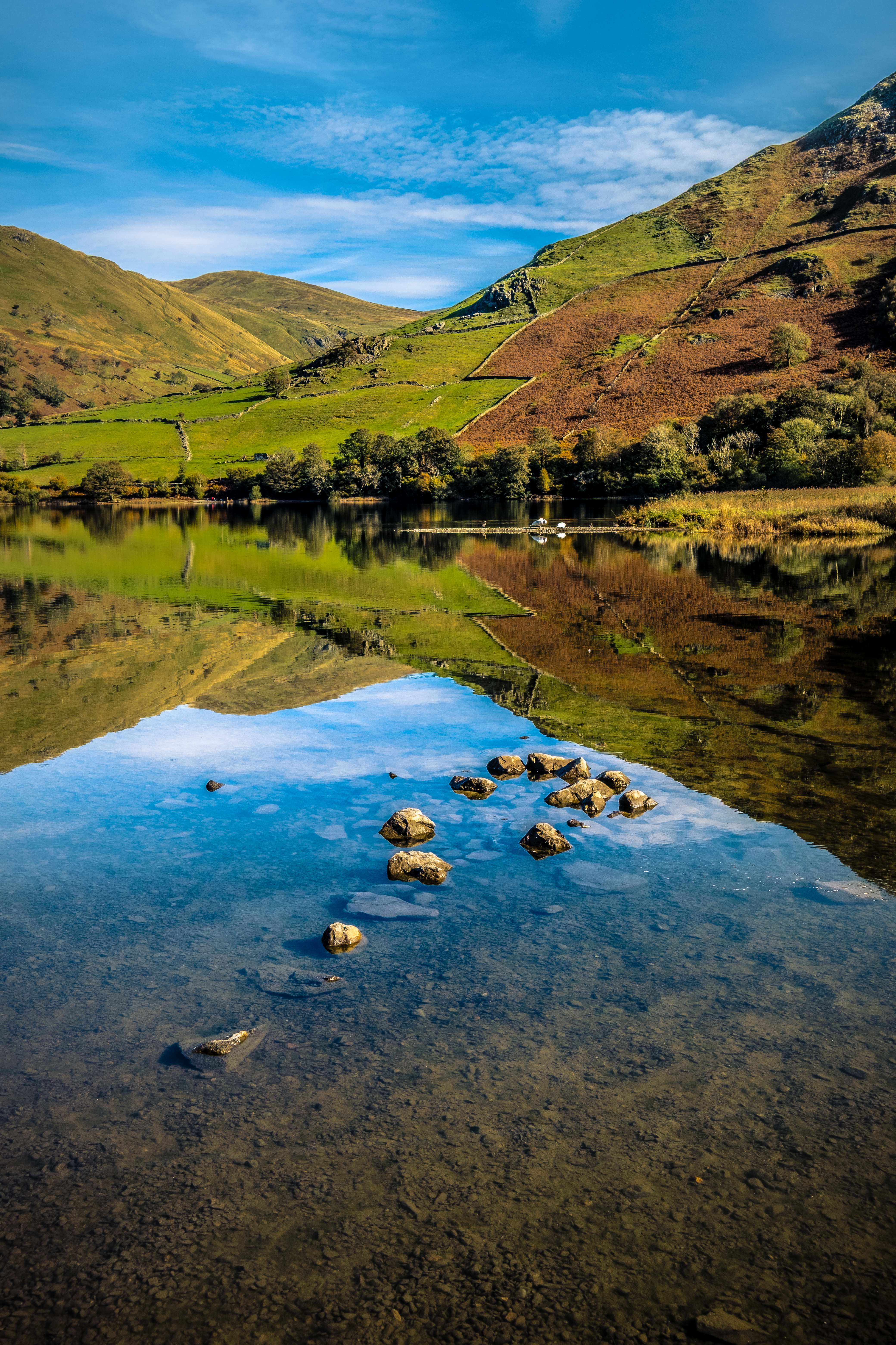
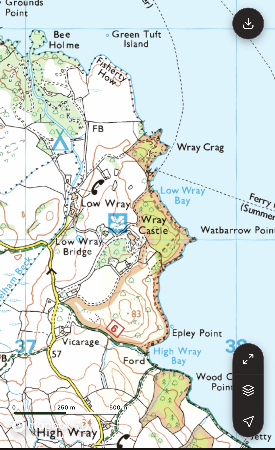
Low Wray Bay is situated between Wray Crag and Watbarrow Point on the Wray Castle Estate, which is managed by the National Trust. The walk that I have chosen is once again an easy stroll (some 4 to 4.5 km) through beautiful countryside, with magnificent views from the western shoreline of Windermere to the surrounding mountains north of Ambleside.
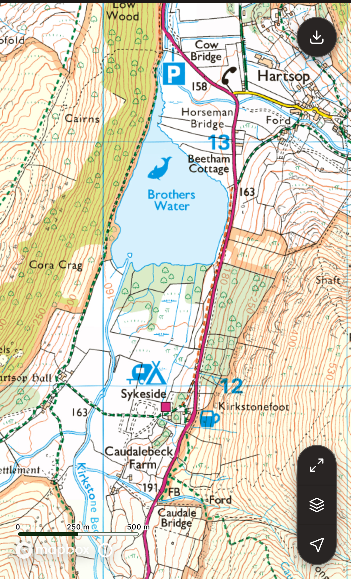
OS Map OL7 THE ENGLISH LAKES south eastern area. 1:25 000 scale and 4cm to 1km
Head to Wray Castle
From Ambleside take the Langdale road, then left to Hawkshead at Brathay and left once again on the Wray road which is quite tricky driving, narrow with limited passing places. From Hawkshead and the south drive toward Near Sawrey and almost immediately take the lane on your left, again a thin lane. Fingers crossed that you don’t meet a Gilbert Brown logging truck! There is also a ferry service in summer, which entails a short walk up to the castle, a very pleasant way to travel to the castle area without all the traffic hassle in the tourist season.
There is a large unsealed car park, Joey’s cafe and toilets. It’s advisable to arrive before 11 am as the car park fills up rapidly nearer to midday.
Wray Castle – Starting Out

Circular walks are fun and flexible.
This short excursion really doesn’t have a boring part and can be extended at many places if you need to stretch your legs.
Lots of advantages to beginning here, most notably a stunning view of the northern reaches of Windermere and the mountains.
Grab a coffee at Joey’s Cafe, wander around the castle perimeter then settle on a bench and gaze beatifically at the views.

Off we go …
You will no doubt be chomping at the bit to launch off and explore that intoxicating view.
We move off along the exit road for a short distance, passing the house and taking the signposted farm lane dipping downhill on our right.
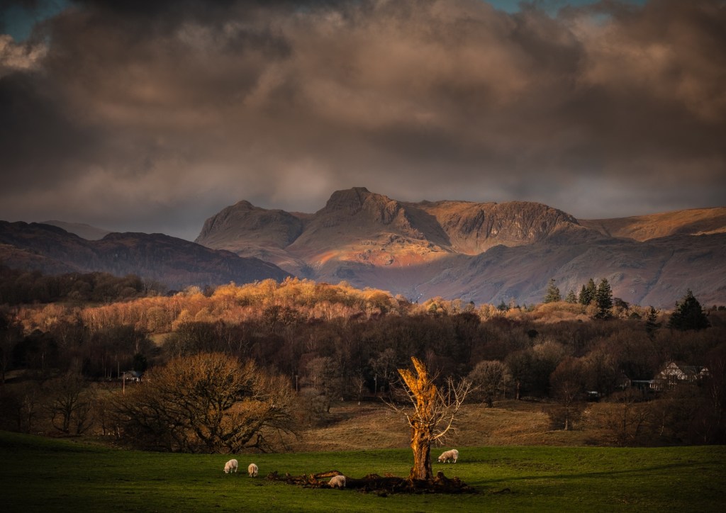
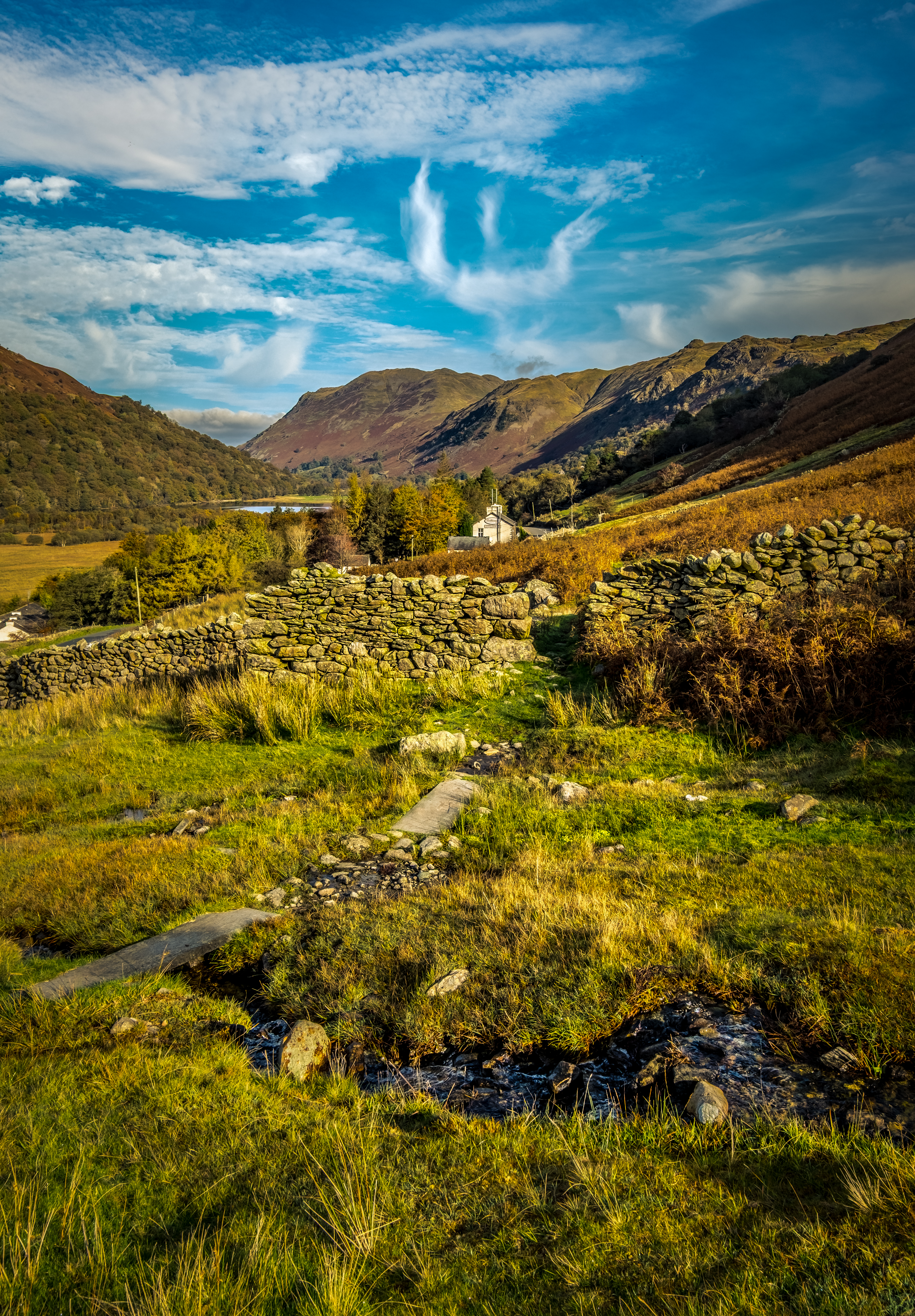
As you saunter down the lane eyes left to seek out Blelham Tarn in the distance. The fields are still green in autumn and the sun shines as much as it rains, regular as clockwork. So be sure to at least carry a brolly in case speeding showers give you an unexpected drenching.
The seasons in the Lakes
Springtime is delightful, usually warm/mild. However don’t become complacent. Many a glorious sunny day can toss in a curve ball without much warning and suck the blood out of your fingers. Not to mention the hair disaster because you forgot to take a cap!
Autumn is perhaps one of the best times to visit the Lakes as temps are cool but tolerable. Nuff said.
Summer can be deceptively hot with lots of nippy critters jostling for a pint of your blood as you expose juicy arms and legs. In fact horseflies are the worst, you never feel them land, the bite site itches worse than mozzie bites and they can needle you through a t-shirt.
Winter in the Lakes is frustratingly beautiful. I love being out on the trail during winter. Be warned though. It’s cold, it’s wet, it’s windy and a snow shower can ravage your equilibrium in no time flat.
Fully prepared for anything should be your mantra in every season.
Each time I use this lane the huge flock of jackdaws in the area are raucous. On a windy day they love playing in the sky, squabbling and nipping each other as they acrobatically plunge through the void at high speed. Nothing subtle about jackdaws, they will always announce their presence. Also close up they have the most piercing, perhaps menacing, blue eyes.
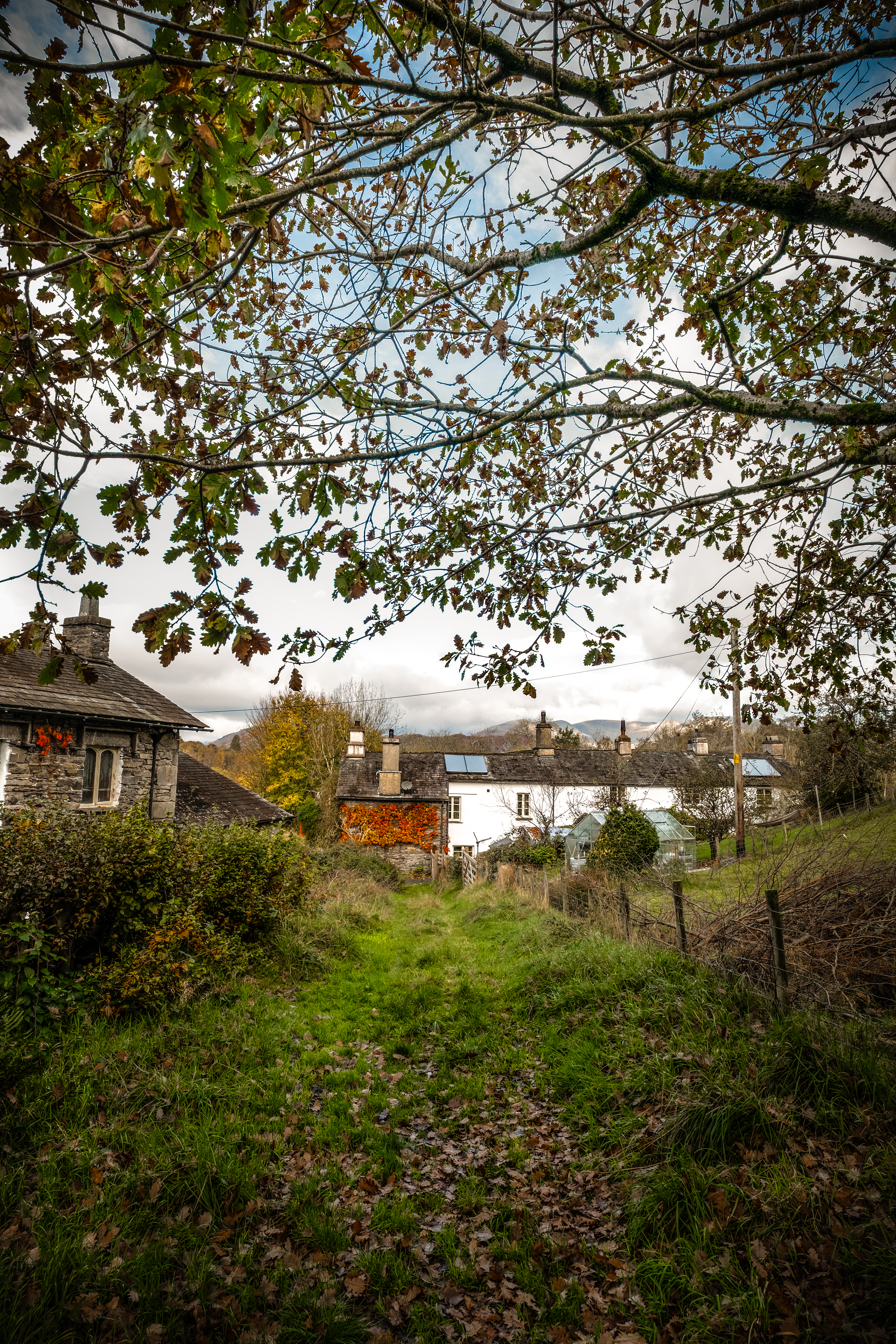
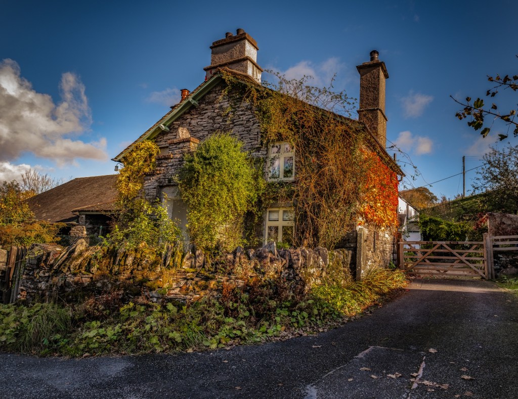
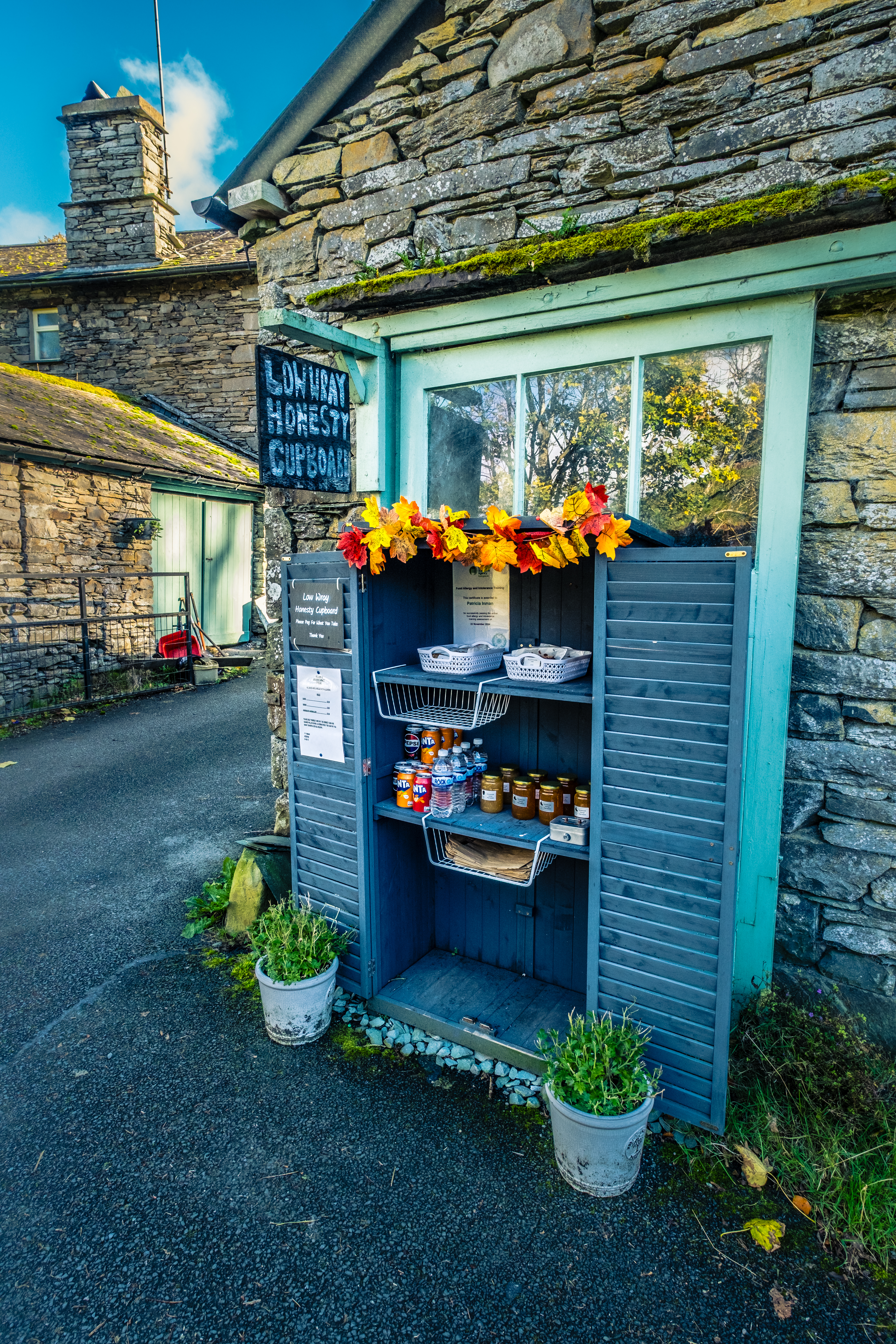
At the bottom of the lane we approach a small cluster of buildings, farm and cottages. This is Low Wray. My preference is to head to the right behind the barn on a grassy swerve. Left drops you onto the sealed campsite road where you should turn right and walk in front of the buildings.
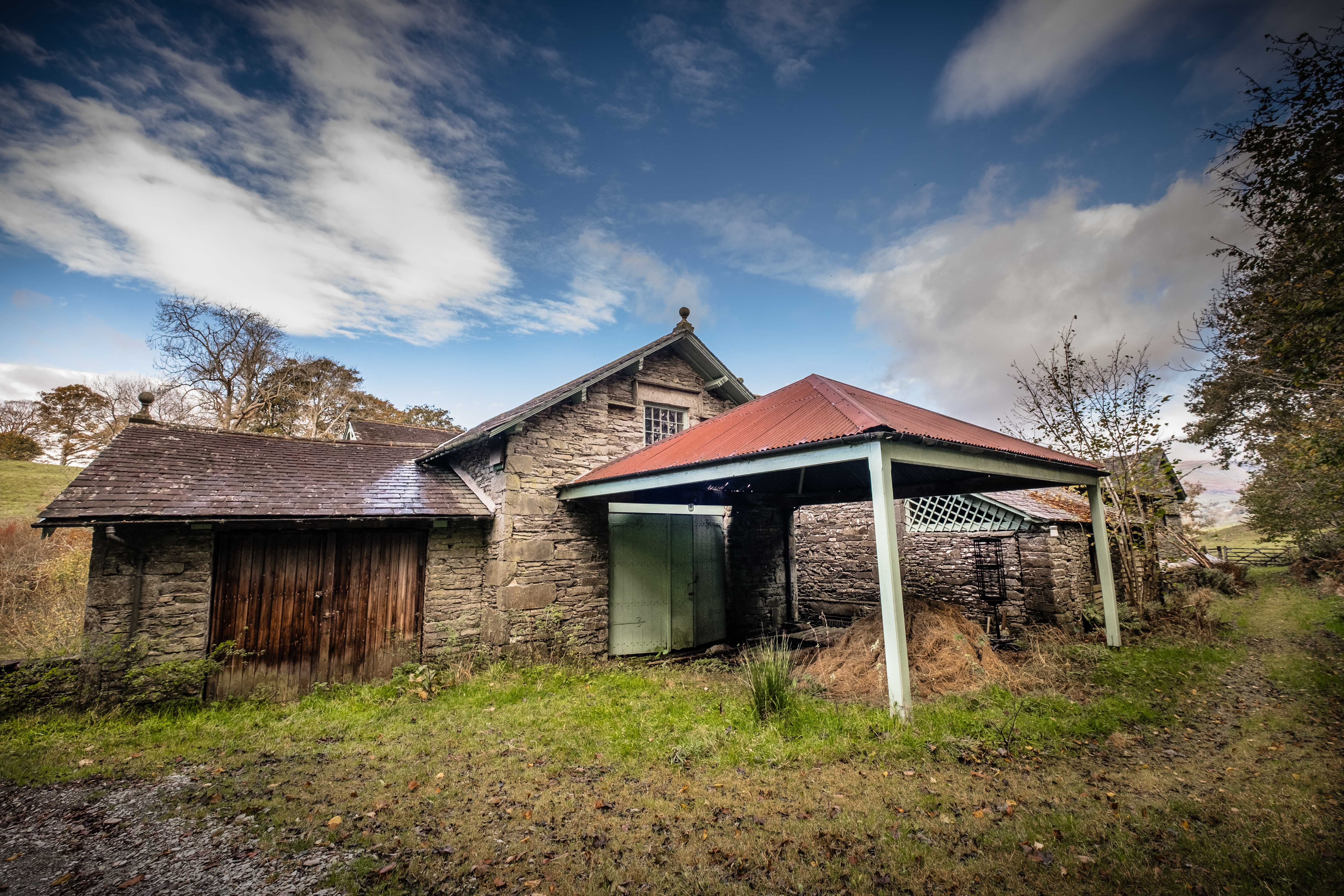
Take a gander inside the barns if the big doors are open, which they often are. One has a mountainous squished pile of fleeces, doesn’t look as if they will be sent for processing. The properties are old and traditional in appearance. Worth noticing the chimney stacks and windows, many haven’t been modernised and these buildings seem to have been left in a time warp.
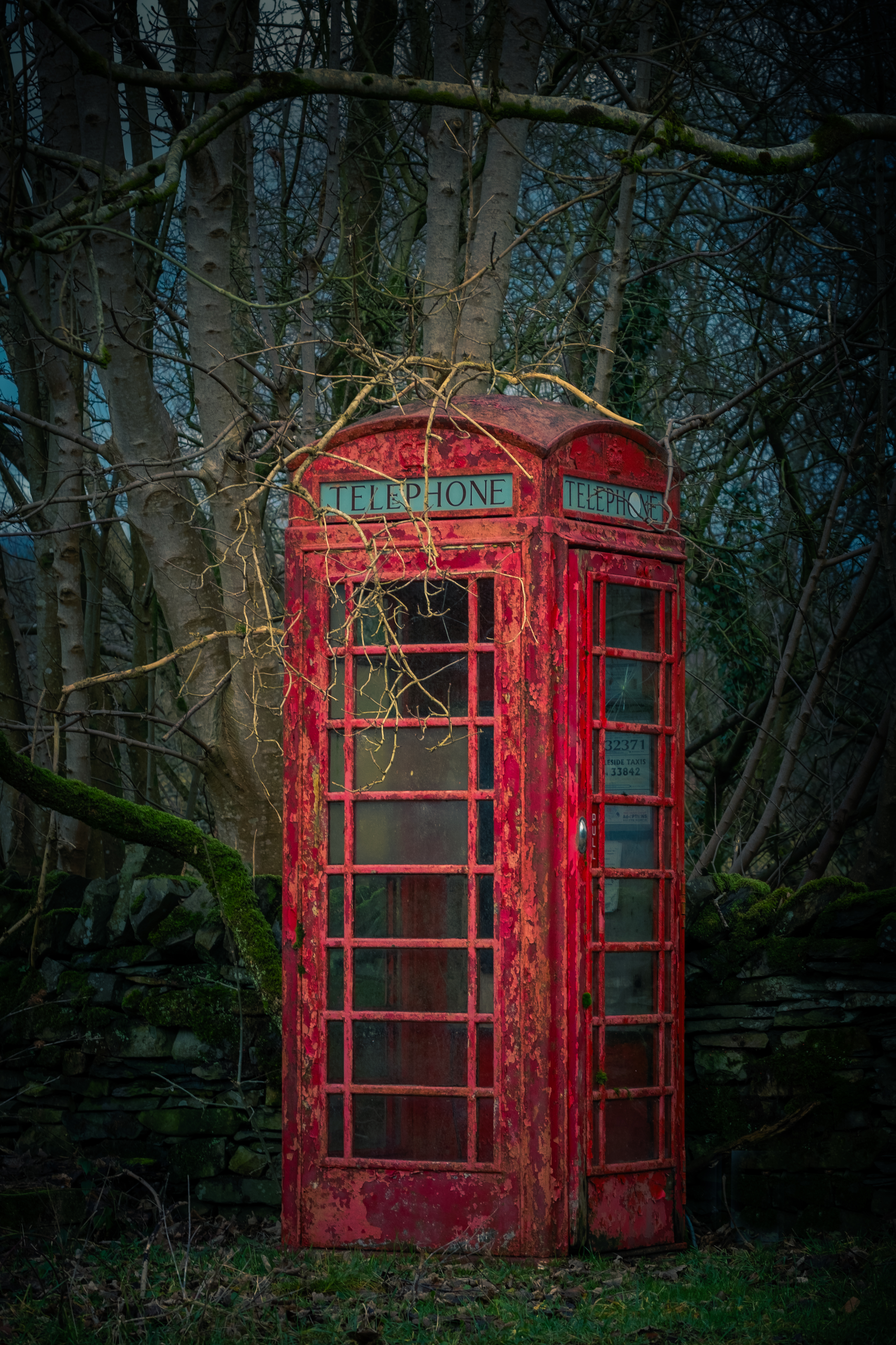
As we emerge from the rear of the buildings you will notice a telephone booth. Doubt that it actually functions as a phone box nowadays, someone had converted it into a miniature library the last time I was there. I love that folk are repurposing these wonderful essentially British icons. I remember many times, as a somewhat wild teenager, running out of money and making reverse charge calls home to ask my Dad to come collect me!
At the phone box you have decisions to make. Take the left or right road at the fork ahead. Both are signposted, and both will get you to the end of the campsite. The right direction being very straightforward. My preference and the one that I am taking you on today is to the left over a cattle grid. In my opinion it is a more interesting walk, slightly longer and a bit twisty with tricky fingerpost choices in places. As long as you ignore all paths to Ambleside and align yourself to follow Wray Castle directions you will survive intact … maybe … probably!
Sign Post confusion … Because the campsite is a sprawling affair with numerous sections and tracks leading every which way it is a good idea to read the signposts carefully. Invariably you should be heading toward the castle. For folk staying on the site, I understand the need for the plethora of signposts, but as a walking visitor it can be confusing.
Having an OS map is essential. I find subbing up for the digital version very helpful when on unknown terrain. Particularly useful is the locator, which will drop a red triangular pointer to indicate your current position. I love paper maps too, map reading consumed me for hours whilst I was planning long distance routes. So please, don’t attempt any of my walks without a map.
Onward choosing the LEFT road
At this juncture is a very peculiar packhorse bridge over Blelham Beck, well worth an inspection. It doesn’t look like a packhorse bridge at first sight, overgrown with grass and wildness, plus an iron gate on top! 20 paces takes you to the top and a chance to stand on history, the don’t make ’em like this any longer.
The road is straightforward with fields on either side. A coppice can be seen ahead which has lovely colour in autumn. Pass the coppice on your left, ignore the track and building to the right, then ponder on the signpost. Our way marker says Wray Castle 1.25 miles, Ferry launch 1 mile and Shop/Reception Pizza/Bike hire. Pizza!! Imagine that, having a slice of Hawaiian pizza on a Lake District walk.
Head toward the stands of silver birch where the road swoops around to the right and you enter the campsite proper with numbered pitches. As you will see shortly this is a rare campsite with Windermere lake access. Pitches are well separated and there is a lovely sense of being in the wild.
Follow the track past a toilet block, ignoring (for now) the long wooden bridge walkway and plod on a little further until you come to a bay at Bee Holme. This is such an idyllic place to relax for a few minutes before reversing to the bridge and crossing over. Once you arrive at the sealed road turn left passing another toilet block before swinging to the right away from the camping area
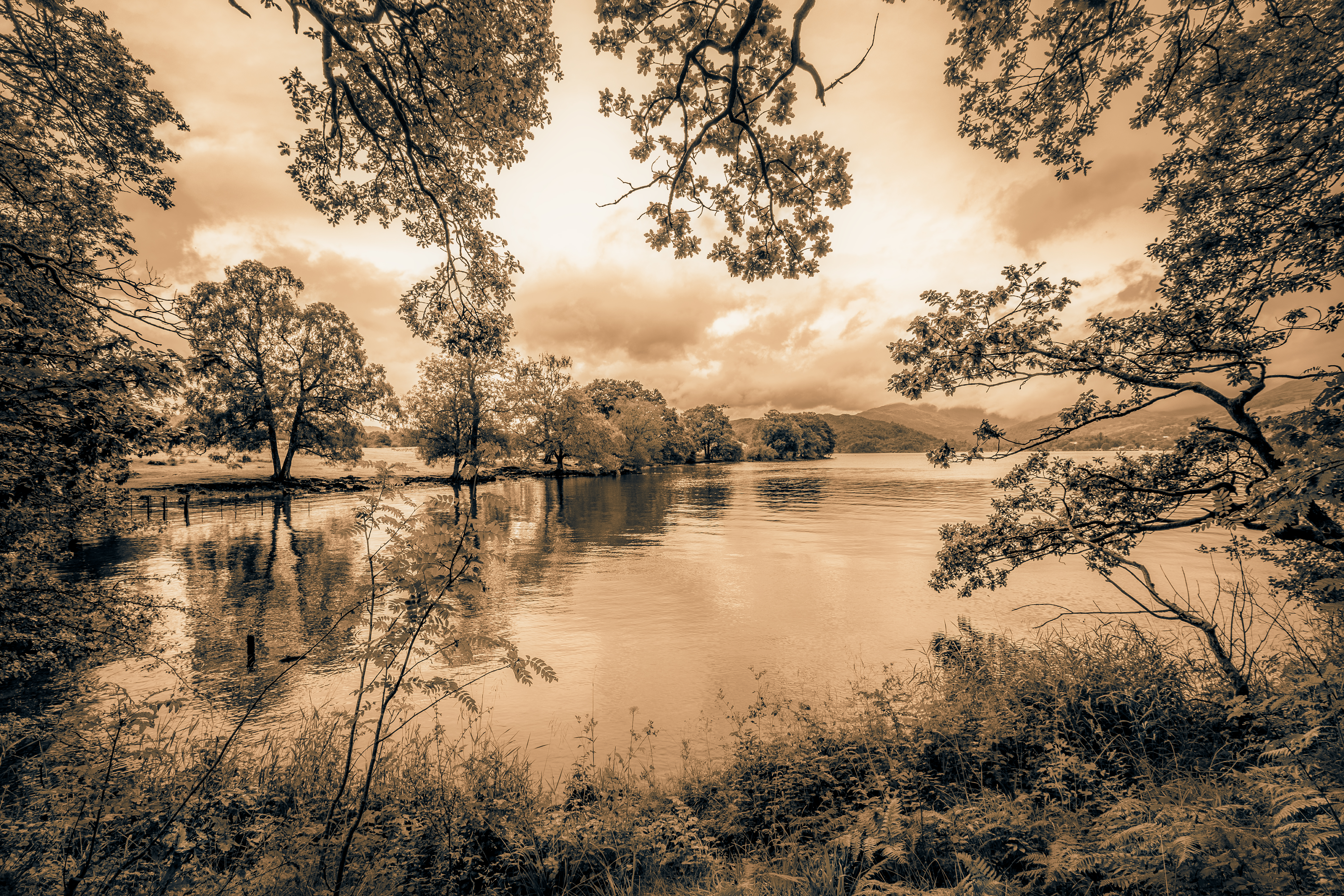
Pass through 2 iron gates onto a section of duckboards by the side of the lake and onto the rounded nose of Fisherty How. The views to Ambleside and westward toward the Langdale Pikes is exceptional. From here until you reach the woods at Wray Crag are loads of waterfowl, Canada Geese in particular. If the lake isn’t high you can walk along the gravelly shoreline and sit on lovely rounded boulders to take it all in. This upcoming woodland part of the walk is a place to linger.
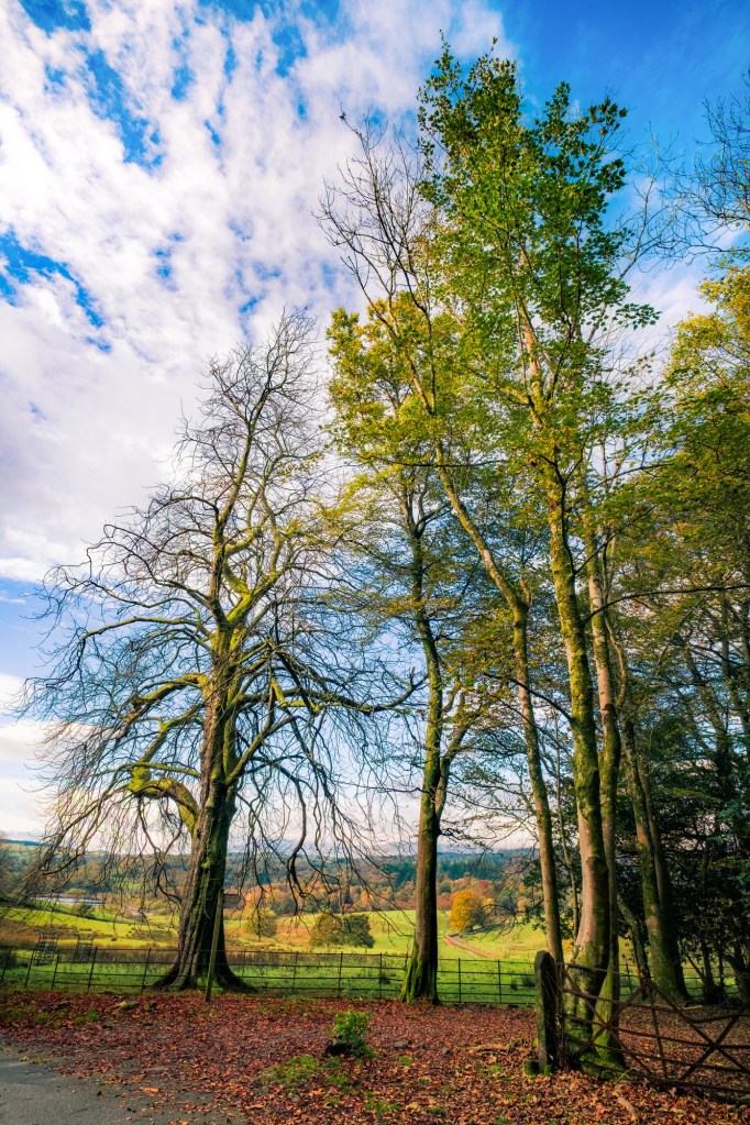
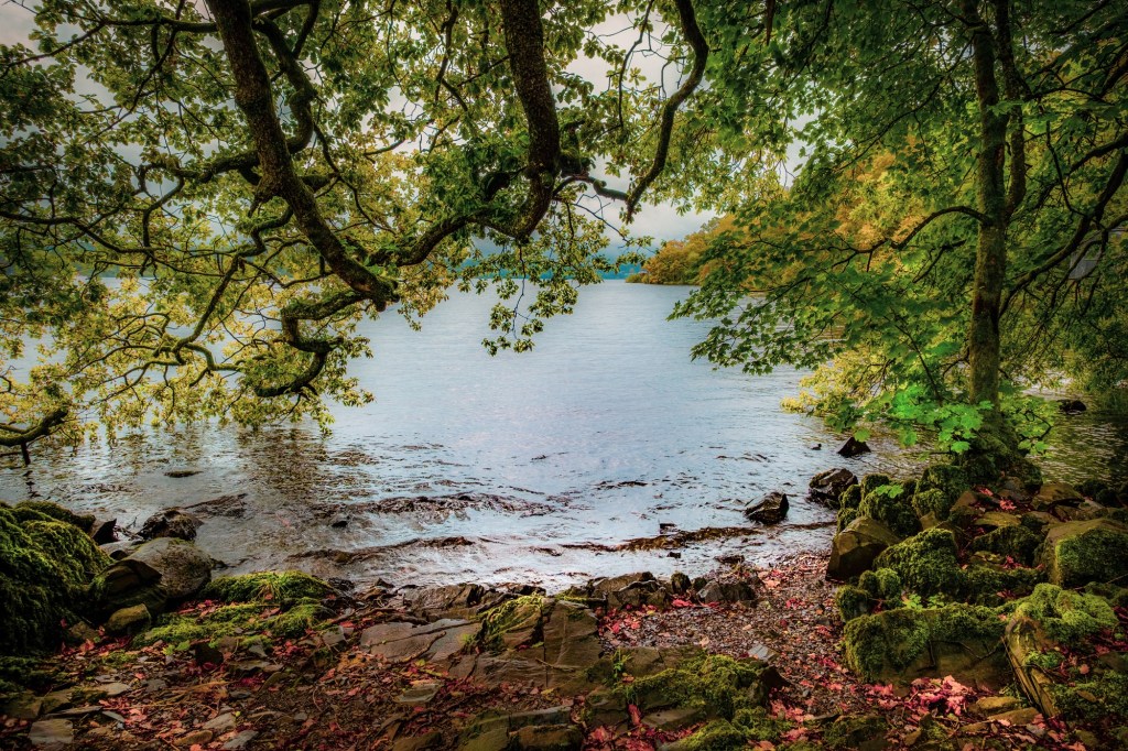
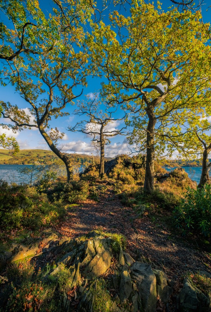
More iron gates end this section and you enter the woods of Wray Crag. Take a short detour out to your left with more stunning views up the lake. Many trees here are superb specimens and in autumn the ground is a thick leafy mattress.
Low Wray Bay at last …
You are now in paradise 😇
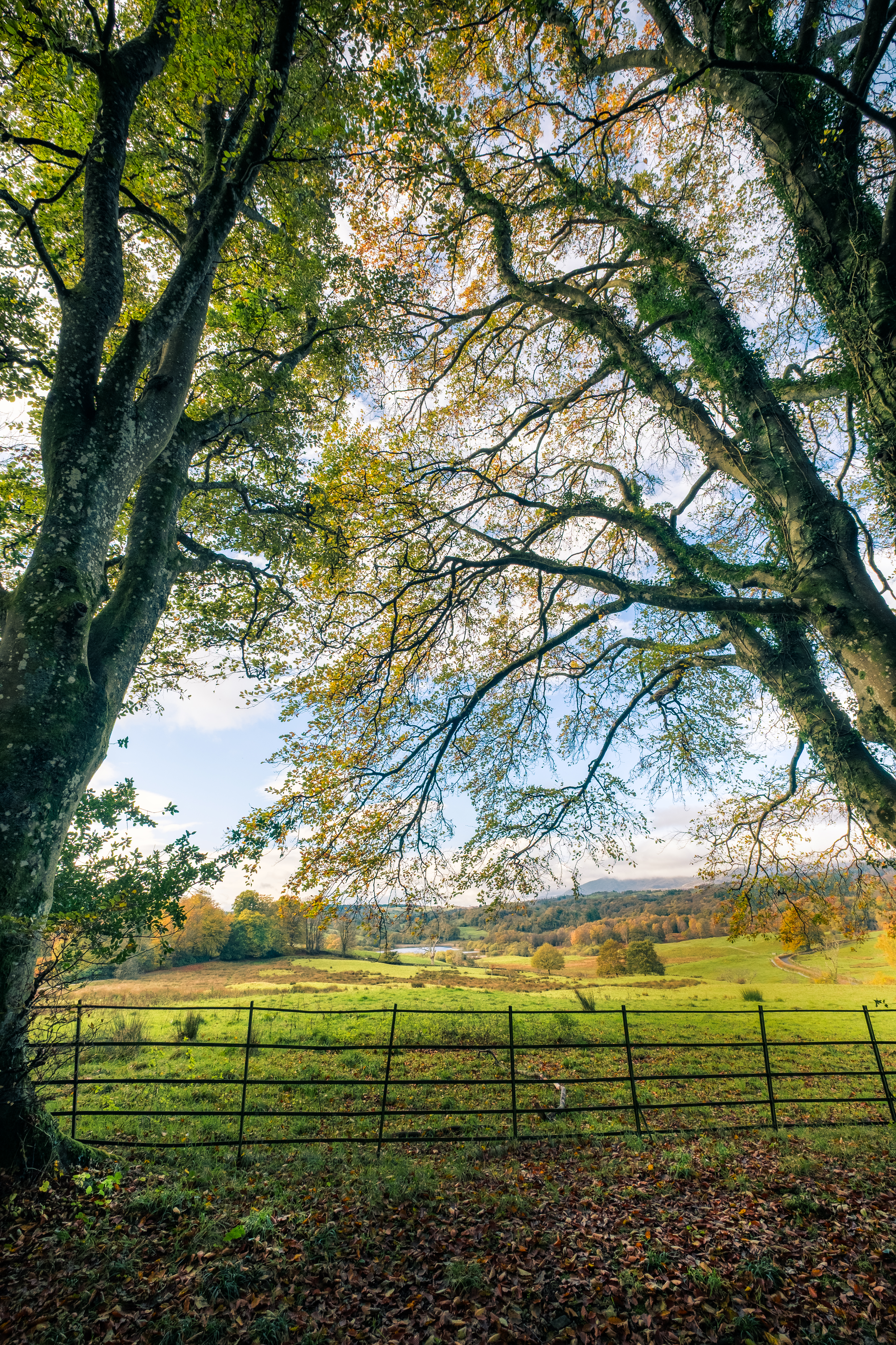
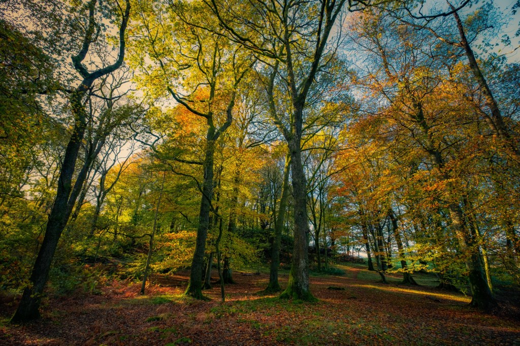
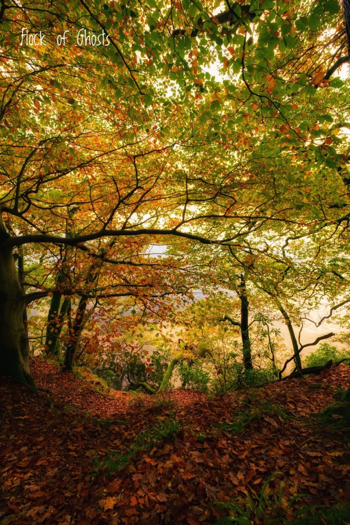
This part of the walk is utterly delightful. Throughout, until we exit the wood to walk back up to the castle, you will be enthralled under a tree canopy of towering beech and oak. This is how woods should be, fallen branches are left to decompose creating habitat for woodland creatures, fungi, ferns, lichens and moss. It feels natural and perfect. I visit this area often.
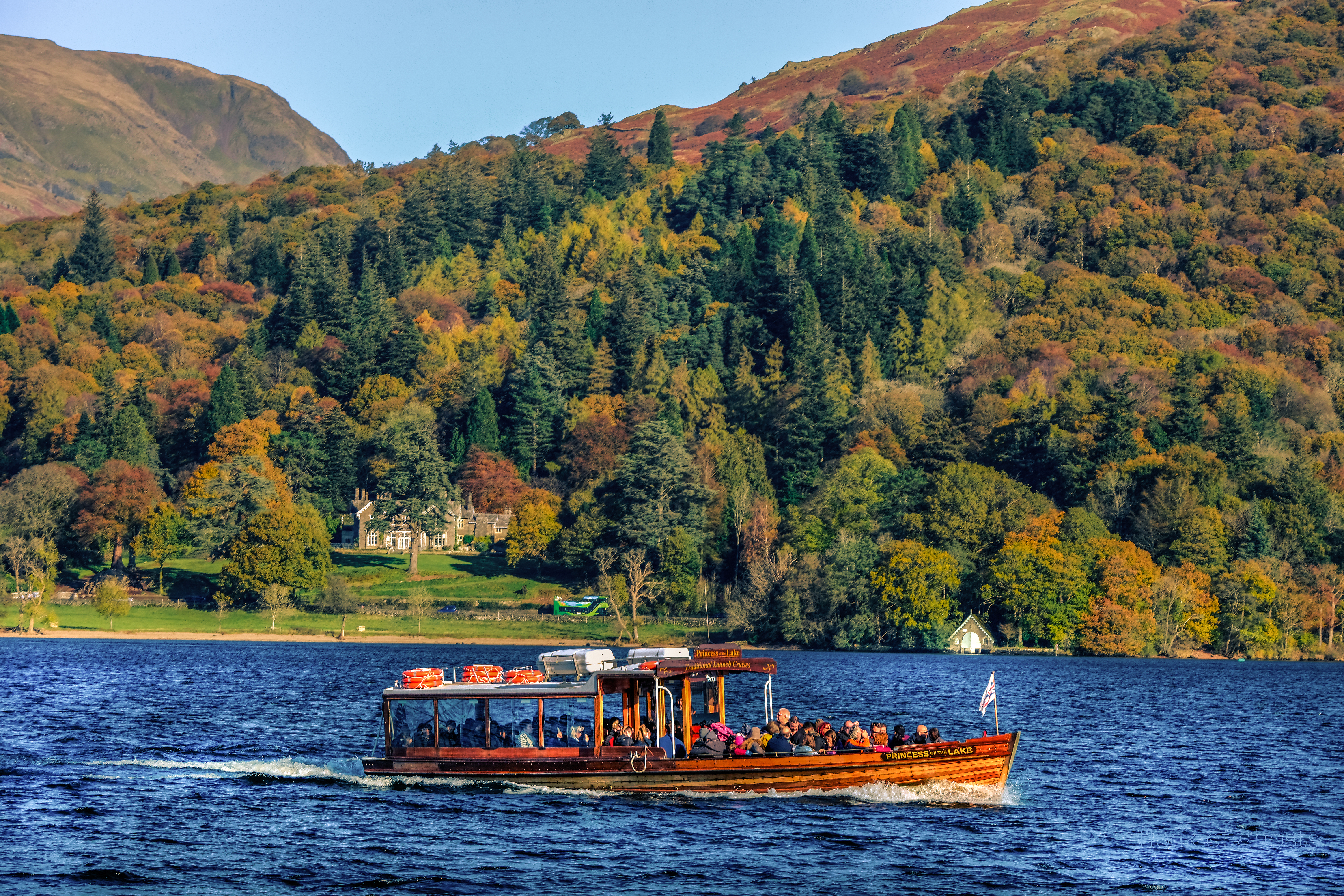
Wray Crag protrudes into the lake, with rocky perches and tiny inlets. Inevitably you will see various boats moving up and down the lake, some of the sailing boats and small motorised craft may pass close to the shore. The larger passenger ferries stay toward the middle unless heading to a landing jetty.
Every other tree seems to create a frame ripe for a photograph. At the water’s edge small waves lap and birds seem to flit along with you through the tree tops, singing and scolding as they see fit.
For you twitcher types who take magnificent bird shots I am in awe. Swans are the only birds I have successfully captured on camera, cos they move slowly. Anyone getting pin sharp photos of a kingfisher in action commands ultimate respect.
There is now a short sinuous path before arriving at the landing jetty.
Lots of information boards and helpful waymarkers here. The boat houses are impressive and well worth a look.

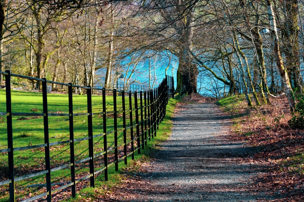
At this point you can take a shortcut back up to the car park beside an iron fence.
My preference is to continue ahead and enjoy the woodland which has an endless stream of beautiful scenes … it could be a dream.


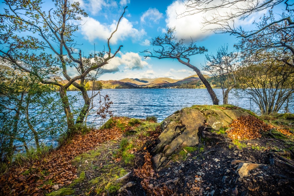
In short order we reach an open area by a tiny bay with Watbarrow Point obvious. Make the short scramble up the rocks and spend a little while on this perch.
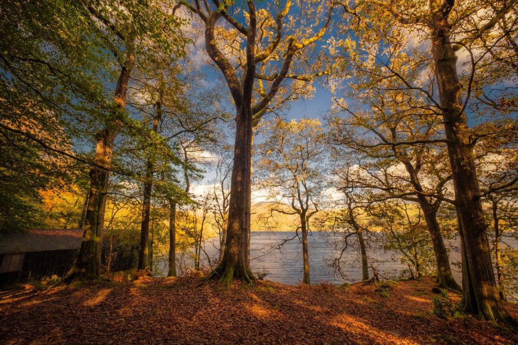
The views north to Waterhead and south to the islands in the middle of the lake at Bowness on Windermere are stunning. This spot helps to put the scale of Windermere into perspective. There is one heck of a lot of water.
Carefully scrambling down from the rocks we head off once more along the obvious path westward. Up a slope you will notice the exit as we reach another metal gate that leads us out of the wood into a large open field.

Looking to the left we will see a popular grassy area beside the lake. Invariably there will be family groups having picnics and children playing.
For us, our attention is up to the right where a grassy path ahead leads to the wide gravelled trail back to the castle.
Plodding up the hill gives time to reflect and realise what a marvellous 4 km walk we have just completed.

If time permits and the light is right at the of the day walk around to the north side of the castle and sit quietly. Breath in the view and store your memories.
Be happy. John